Projects
I’m a Master’s student in City Planning at the University of Pennsylvania specializing in Urban Spatial Analytics, with a background in architecture. My work focuses on understanding how urban systems function, how housing, land use, transit, and environmental conditions interact, and translating that complexity into clear spatial insights and visual tools.
I’m particularly drawn to data visualization and mapping. I enjoy turning messy datasets into maps, models, and interfaces that allow people to actually see patterns in cities.
Where I analyze cities
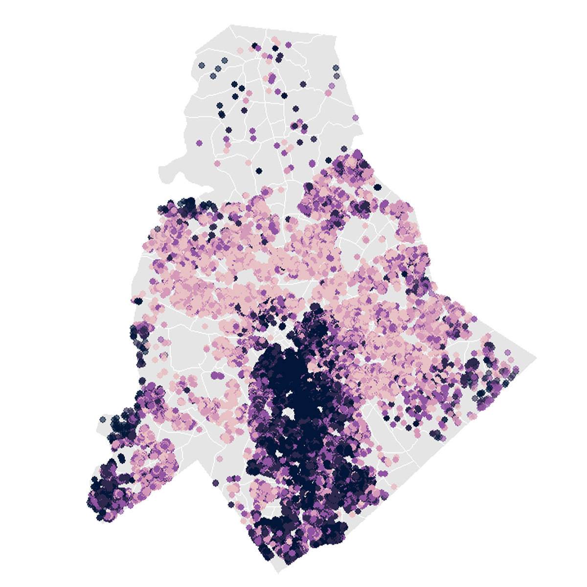
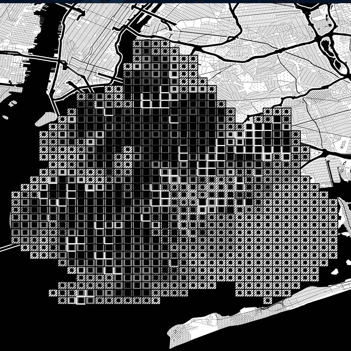
City-Scale Open Space Analysis - Urban Design Research Institute Mapped and evaluated 650+ public open spaces across Mumbai, identifying access gaps and neighborhood inequities through a unified GIS database used for institutional planning discussions.
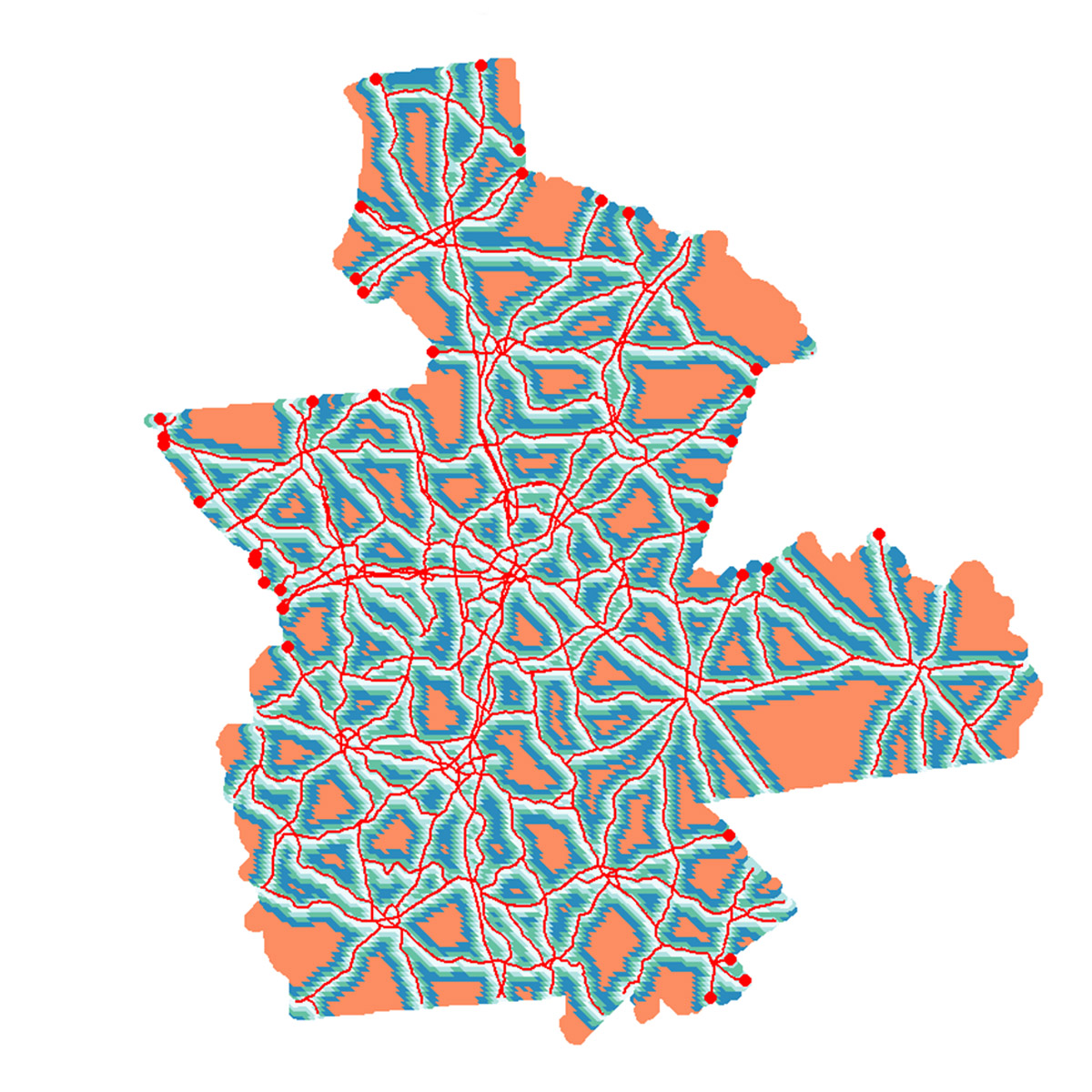
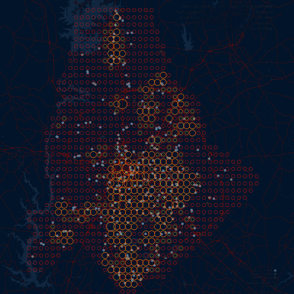
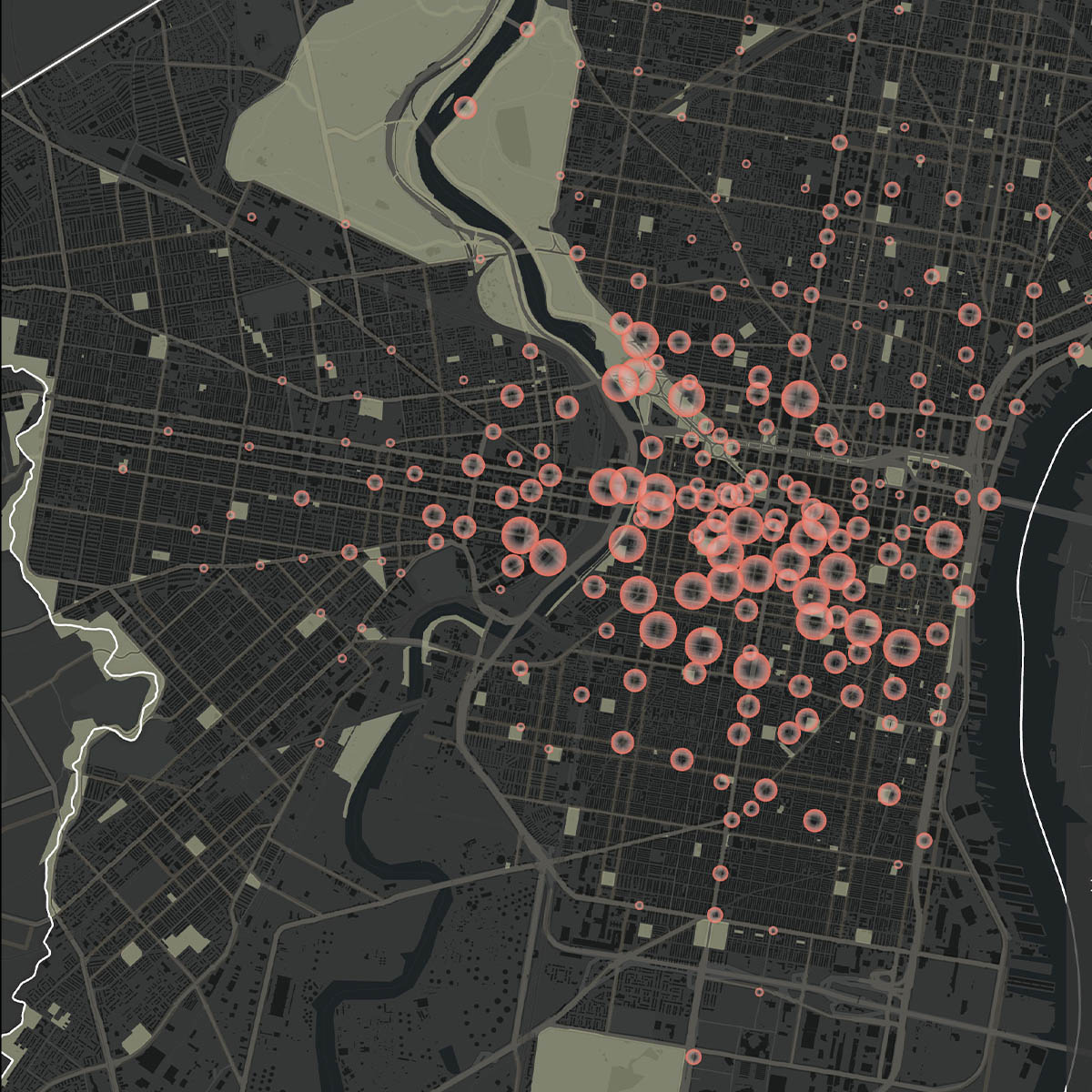
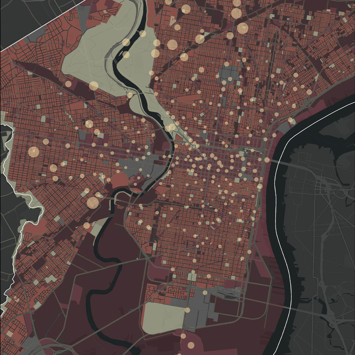
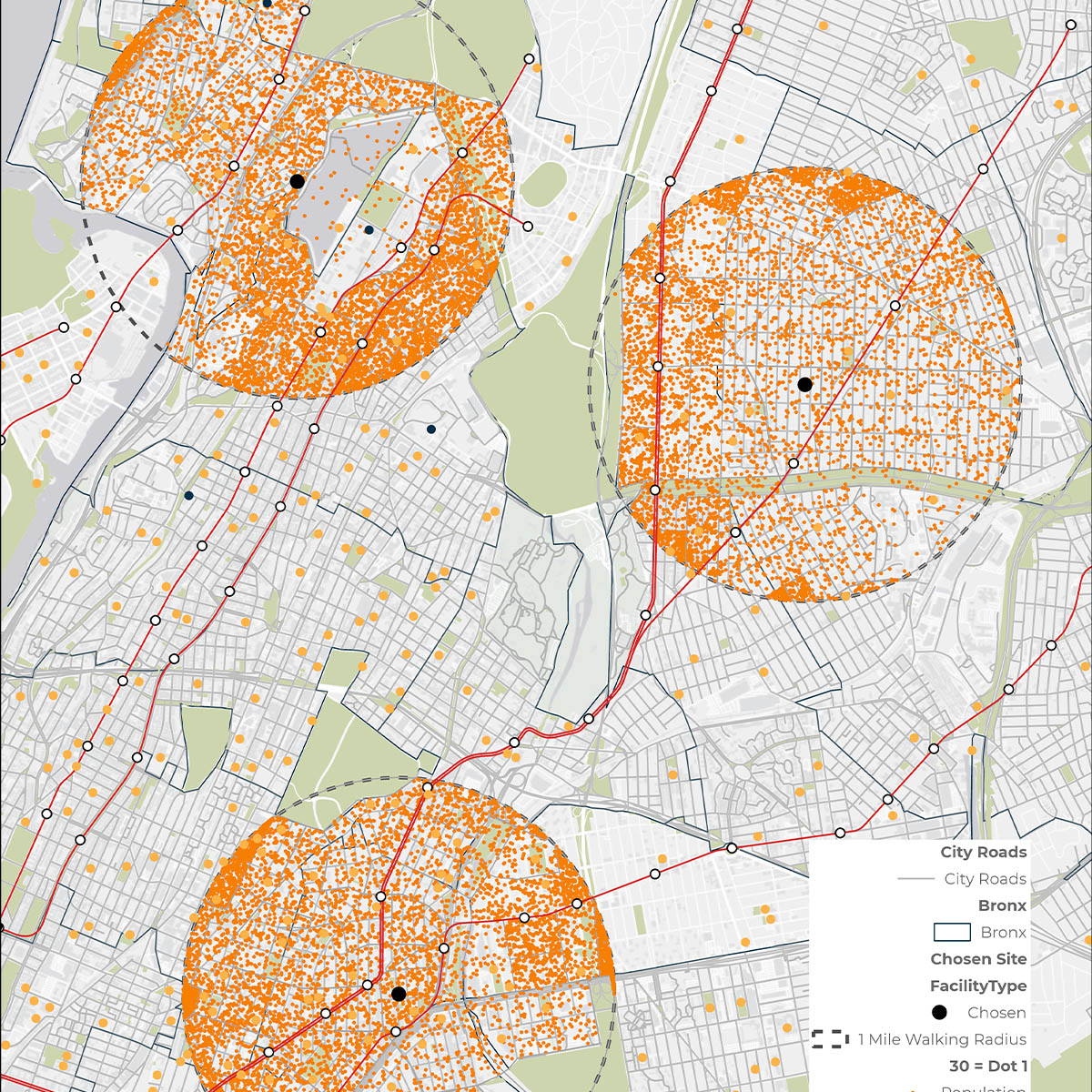
Citywide School Infrastructure Study - University of Pennsylvania Analyzed 333 Philadelphia public schools and surrounding neighborhoods, integrating Census and infrastructure data to evaluate service coverage and accessibility patterns across the city.
Regional Zoning Atlas - Community Development Long Island Structured land-use regulations from 266 zoning ordinances across 106 municipalities, creating a regional dataset used to analyze development capacity and regulatory patterns across Long Island.
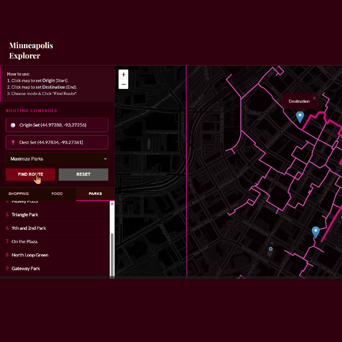
Lived Narratives - Witte-Sakamoto Family Prize Conducted on-ground research and community surveys across Philadelphia, translating primary narratives into structured spatial datasets. Combined qualitative insights with digital accessibility and city systems analysis to propose a spatial analytics platform that maps lived geographies and integrates community experience into planning decisions.
How I build analytical systems
Spatial Decision Dashboard Built a GIS-based analytical dashboard using ArcGIS Pro and Python to integrate administrative and Census datasets for spatial infrastructure analysis.
Urban Data Infrastructure Designed and standardized large geospatial datasets, including Mumbai’s public open space inventory and a regional zoning atlas, enabling structured spatial analysis across cities and regions.
Spatial Modeling Workflows Applied Python, R, and GIS analysis to build regression models, land-use diagnostics, and network accessibility studies across multiple urban systems.
Design + Spatial Technology Trained in both planning analytics and design tools, working across ArcGIS, QGIS, Python, R Studio, SQL, Adobe Softwares, Rhino, and SketchUp to translate spatial analysis into maps, models, and planning outputs.
Awards
Witte-Sakamoto Family Prize · 2025
SNF Paideia Graduate Fellow · 2025
Dean’s Merit Scholar · 2024
Charles Correa Gold Medal Participant · 2022
Publication
Goyal, A. et al. (2024)
A Digital Blueprint of Breathing Spaces in Mumbai>
The Journal of Public Space.